Wednesday, August 17, 2005

Down the east side of Vancouver Island

Since we came up the mainland side of the Straight of Georgia on our way to Desolation sound, we decided to go down the Vancouver Island side. From Drew Harbour, we went to Campbell River. We had arranged to have our mail sent to the marina there, and it was supposed to be waiting for us when we arrived on Saturday. Unfortunately, it wasn't. UPS could track it as far as Richmond BC, but that was it. We had no choice but to wait until Monday and see if it would turn up. It did.

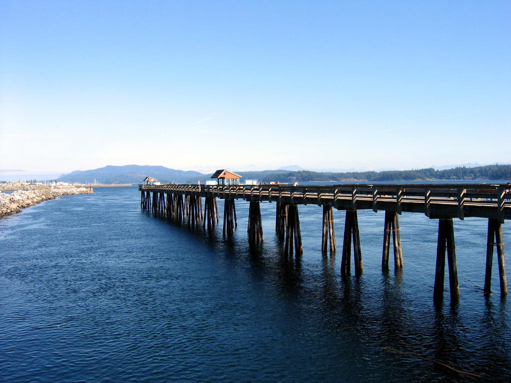
This wasn't all bad. The marina was right in front of a huge shopping center, so we were able to stock up on everything. There were no restrictions on using water, so we were able to give the boat a real bath, with soap, for the first time in over a month. There was a great farmer's market on Sunday, and we spent a fair amount of time walking around the town. Here's a shot of the fishing pier:


Fishing is one of the main attractions in Campbell River -- on the pier, they had a board with the stats of largest catch of each day posted -- some of them were huge.

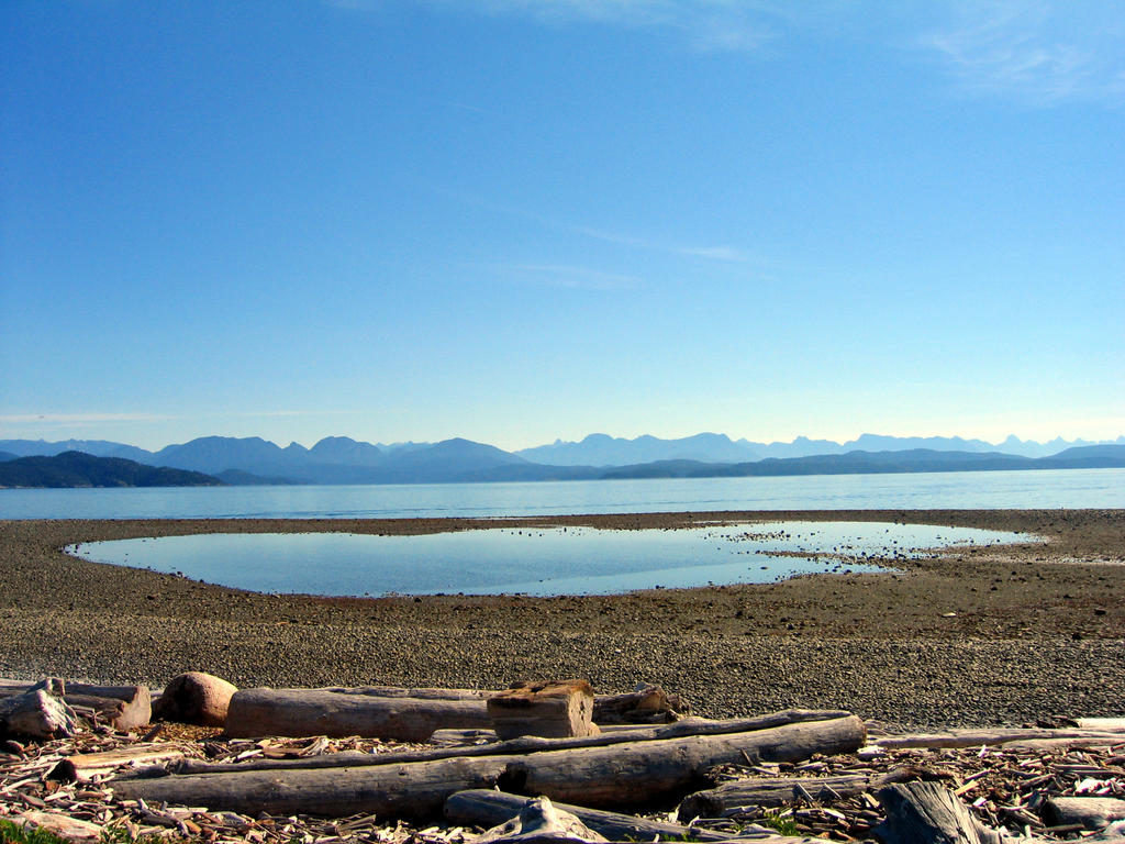
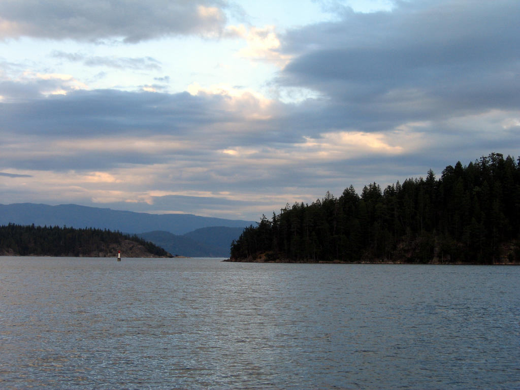
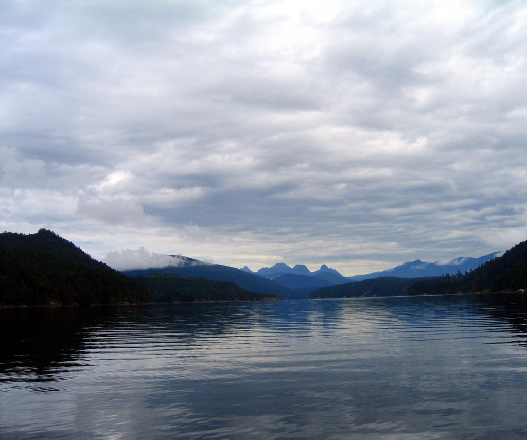
From Campbell River, we went to Tribune Bay. Tribune Bay has a lovely beach, but is completely open to the southeast. When we got in, we were too beat to go over to the beach, but figured we could always go the next day. Of course, the next day, the wind was from the southeast, which caused huge rollers to come through the anchorage and break on the beach. No beach for us! We sat it out in increasingly uncomfortable conditions for most of the day, listening to the weather report, which kept assuring us that the wind was going to switch around to the northwest. Around 6:00, when it still hadn't shifted, we decided to move to Deep Harbour, a few miles away and much more protected. Here's a picture of Tribune Bay, looking toward the beach on the first night we were there


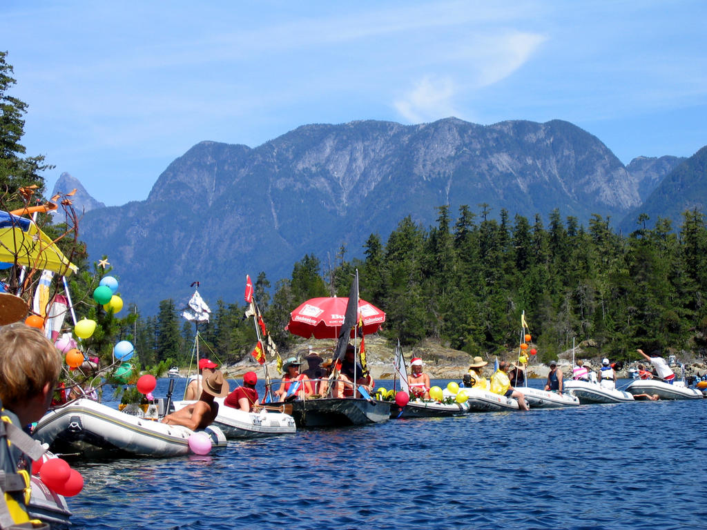
From Deep Bay, we went back to Nanaimo, one of our favorite stops on the way up. We spent a couple of nights in the marina there, went to the farmers market, took in a bit of the blues festival (it was very, very hot, and there was nowhere to sit in the shade, so although the band was good, we didn't stay very long), and found a great used book store. We also browsed through a Native art store called "Hill's", which had tons of lovely stuff, including a huge suspended carving of a heron in flight, all wildly impratical for the boat.

After we restocked in Nanaimo, we went across the channel to Newcastle Island. This was another favorite stop on the way up. We spent a couple of nights at anchor, then yesterday morning, moved over to the docks for a night. The docks have no water or electrical, but allow easy on and off to the island, and there's garbage pickup. I wandered around yesterday afternoon and took a bunch of pictures.

There was a pulp stone quarry here in the 20's. Pulp stones were used on the mills to grind wood into pulp. They cut huge cylinders out of sandstone for this. Here's what's left:


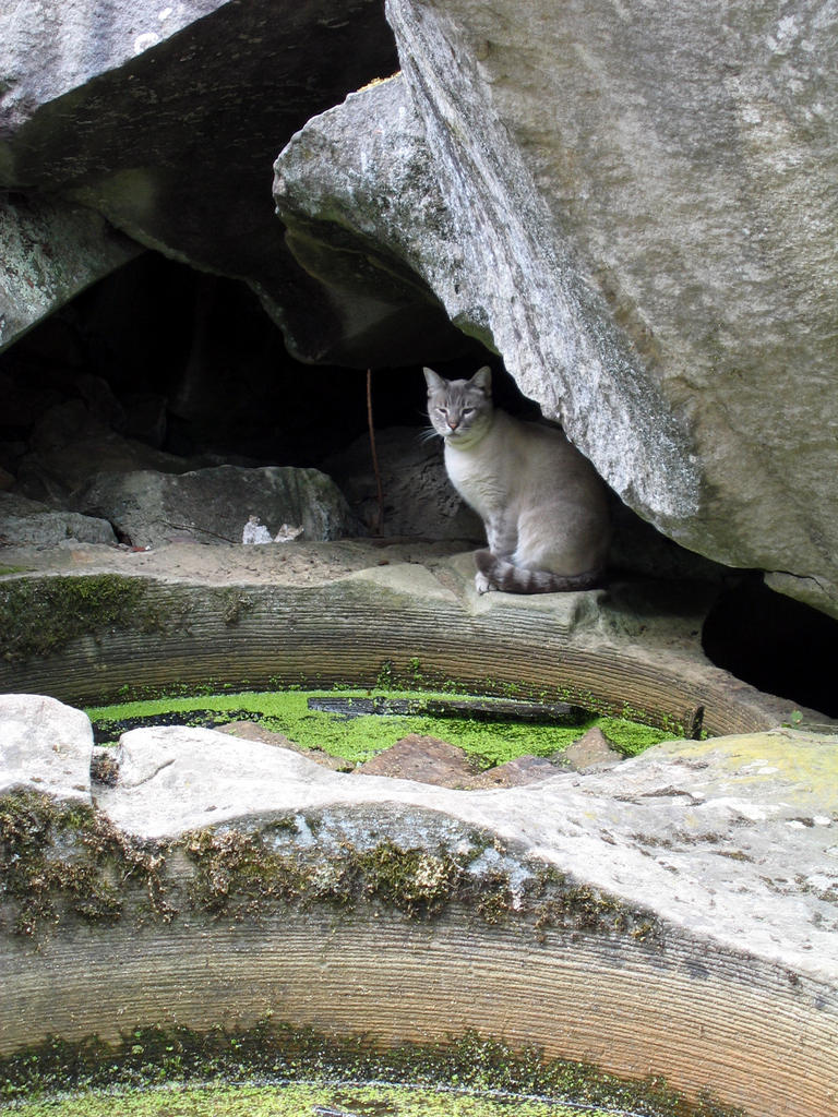
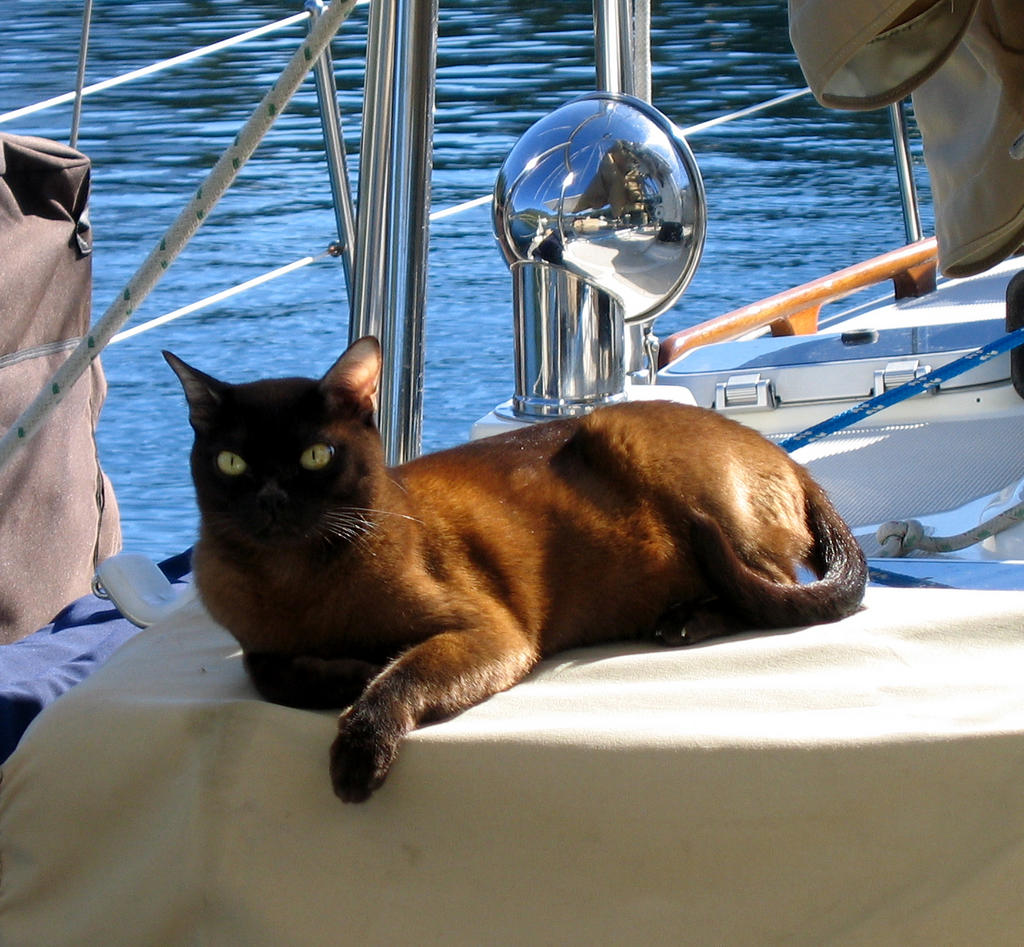
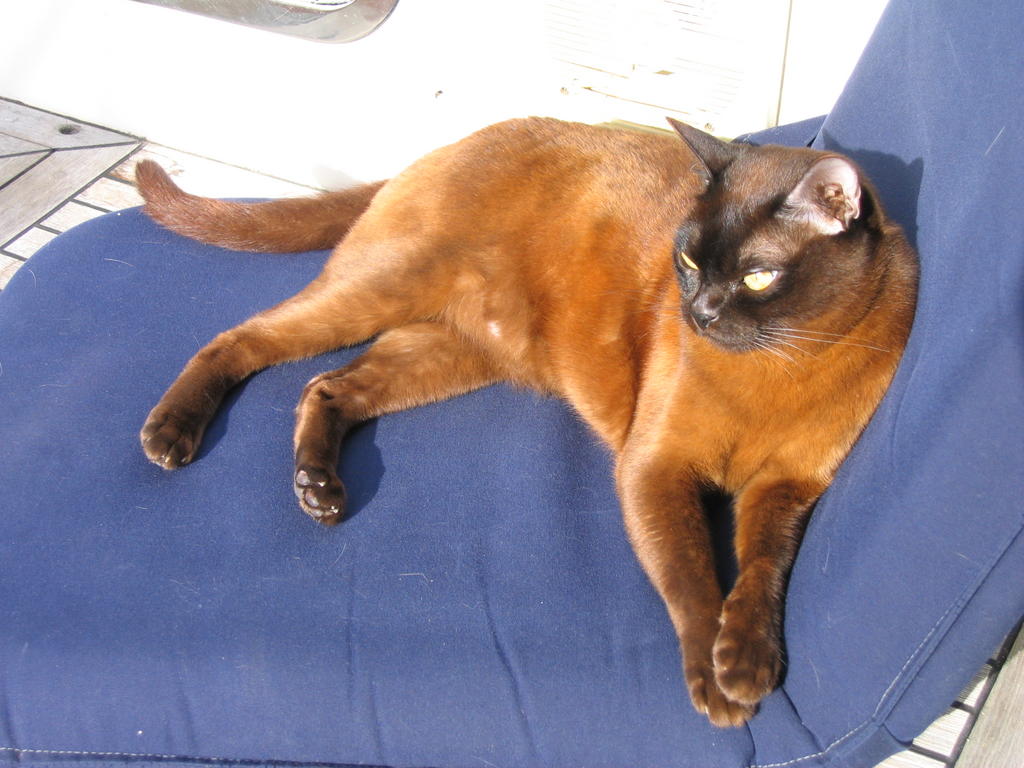
There were a couple of cats hanging around the quarry, but only one stuck around to have his picture taken.

More pulpstone:


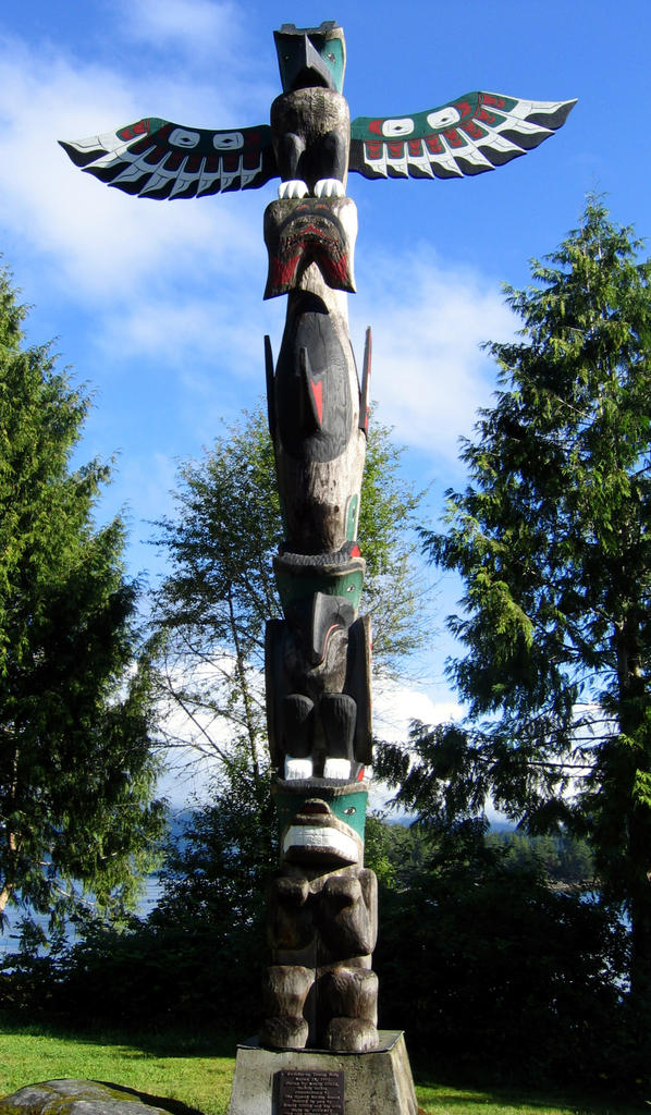
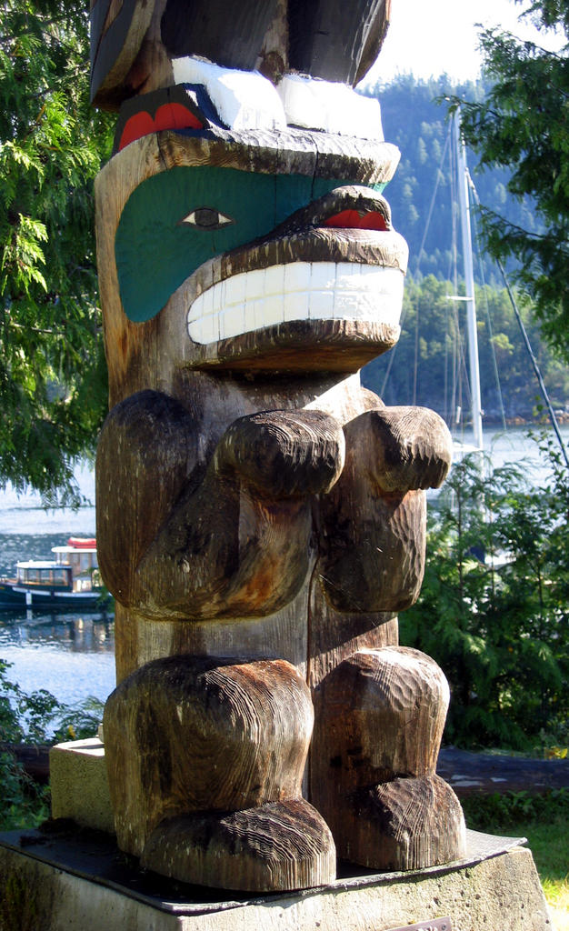
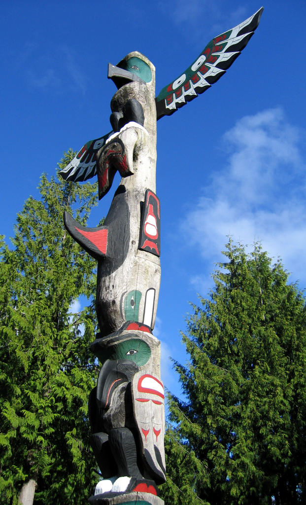
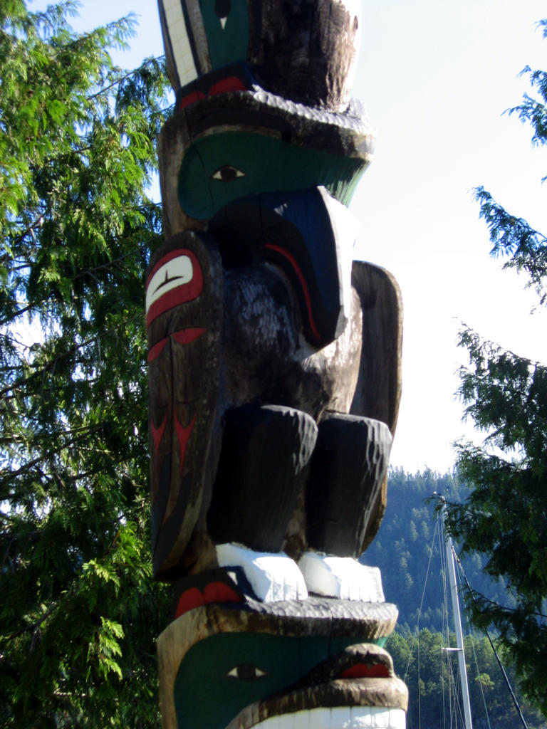
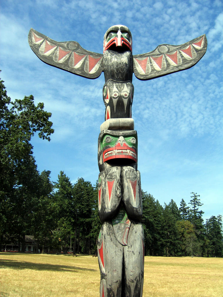
There are also a couple of totem poles on the island:


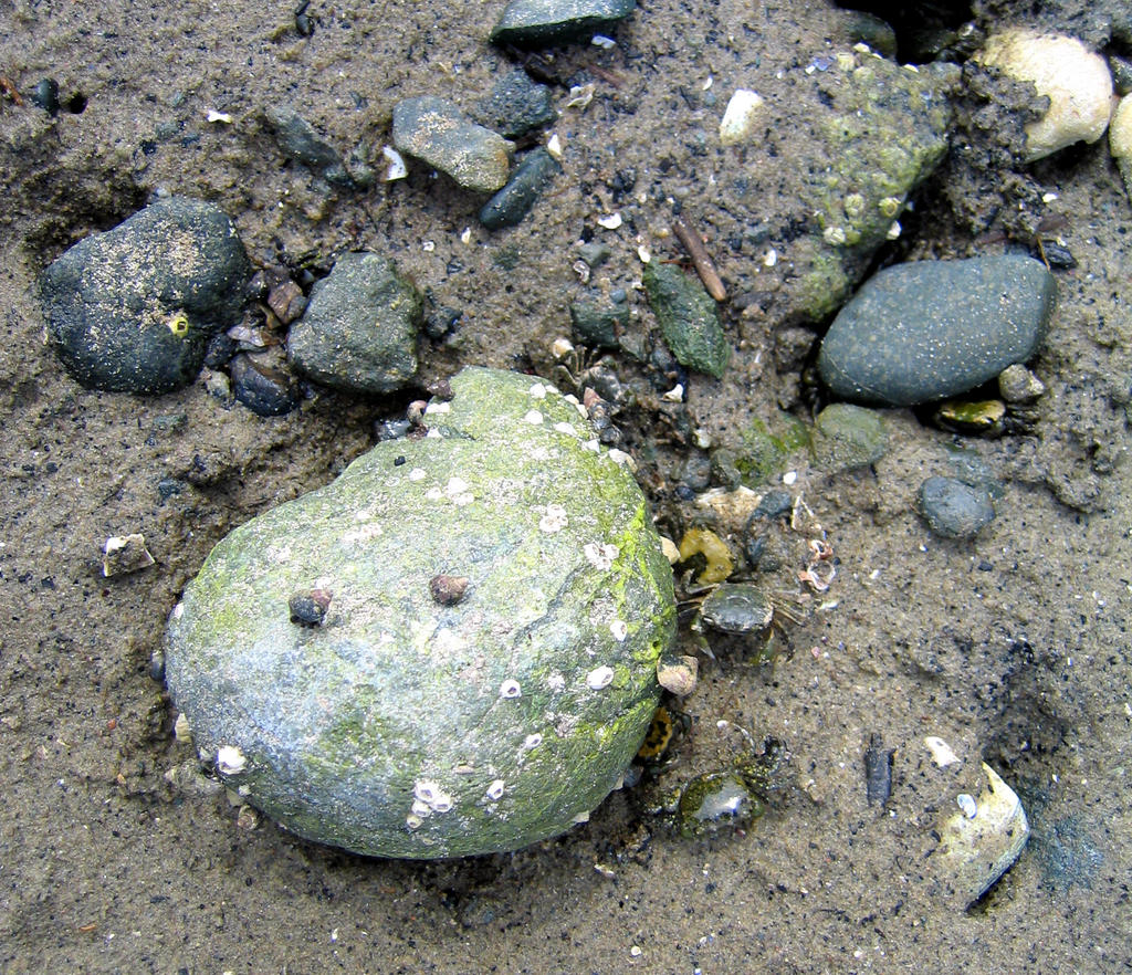
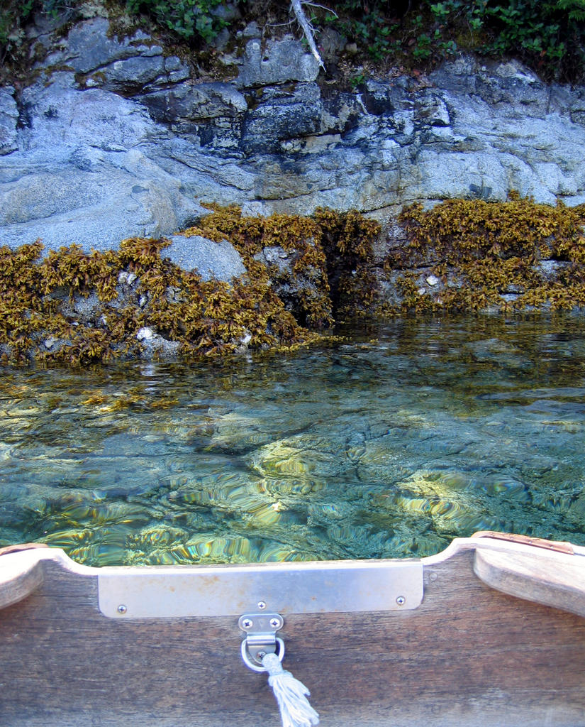
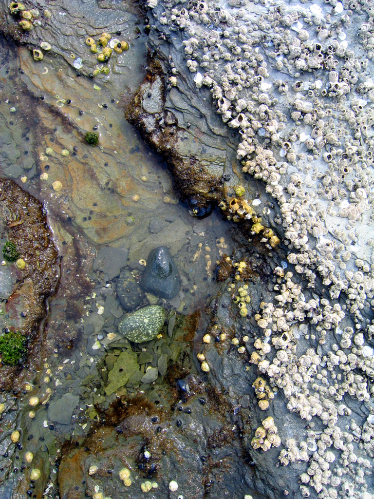
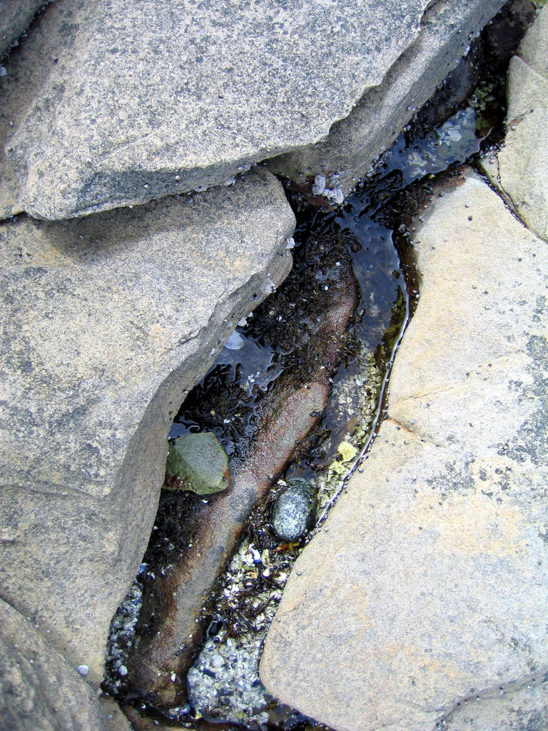
And, of course, there are a lot of tidepools:


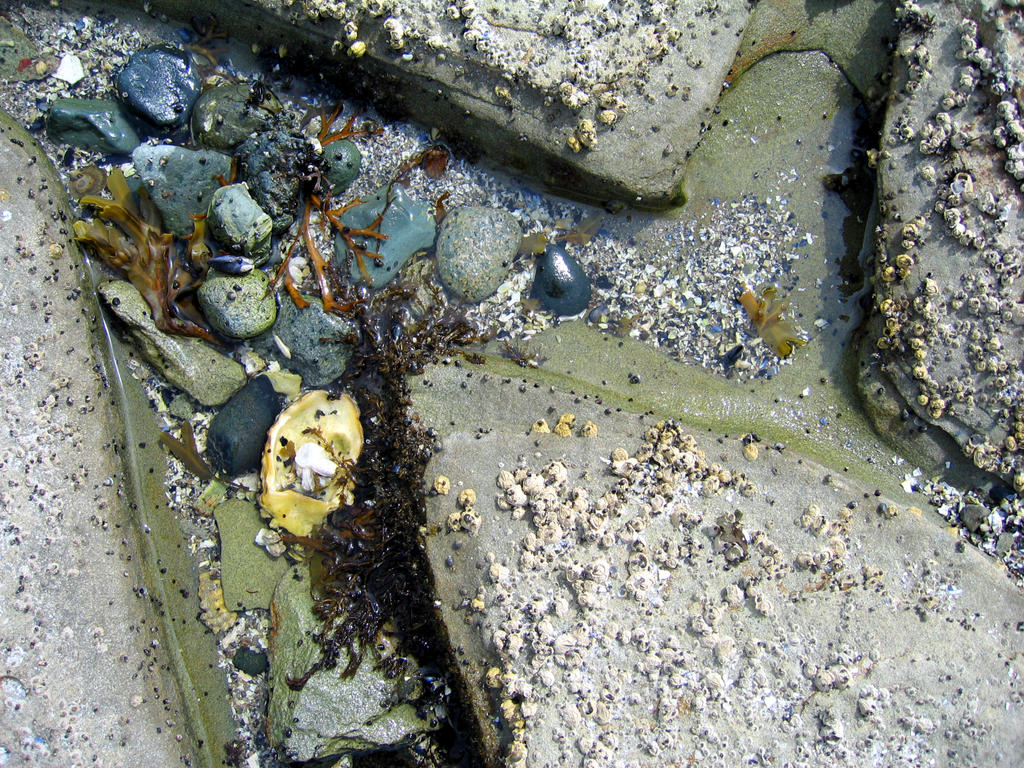
Several of the tidepools had literally hundreds of tiny crabs in them:

Saturday, August 13, 2005

Desolation Sound, then heading south

From Prideaux Haven, we stopped back in at Cortes Bay for a night. We saw a guy in an apparently brand new boat completely ignore the marker on the reef at the entrance and try to run between it and the shore. Not surprisingly, he ran aground, hard. We only noticed him because of the noise of his rigging slamming around from coming to such a sudden stop. Amazingly, instead of backing up and going around, he powered straight on through. He tried to tie up at one of the yacht clubs, no dice (which I thought was sort of harsh), then went to the public dock, we assume to inventory damages. When we looked for him later, he was gone, presumably to Lund, the closest place with haulout facilities. Hopefully, they were OK.


From there, we went to Grace Harbour. We were looking forward to hiking to a lake there, but unfortunately, it started to rain soon after we arrived and continued for the whole next day. I did get a couple of nice shots as we were leaving.


Grace Harbour was full of jellyfish. We actually managed to suck several up into the water intake on the genset. We cleaned it once, but it clogged again, at which point we gave up. We did a speed drill getting the anchor up when we left, because we did not want to suck one into the main engine water intake.

Grace Harbour jellyfish:


From Grace Harbour, we went to Taku Resort, which was lovely. Brand new docks, beautiful facilities, easy walk to a very well stocked store. It's one of two marinas in the area, but doesn't advertise. The other marina is much older, crowded (we found when we went over to look at it), and, most importantly, must have been having some sort of problem with their water system, as they told us we couldn't fill our tanks if we stayed there. "No boat washing" signs are pretty common up here, but not being able to fill the tanks seems a bit beyond the pale at $40/night. We walked over and had a very lovely meal at their restaurant, though.

Apparently, the resort is a "hobby" for a woman from Vancouver -- it's certainly developed beyond any rational expectation of economic return out of a short season. Lovely stop.

It was very windy when we came in, but it was early enough in the day that we had our choice of spots. Three power boats who came in late weren't so lucky, and it took help from all the people on the dock to pull them against the wind and up to the docks.

We took a bike ride to Rebecca Spit Park, and liked it so much that we decided to go all of about 500 yards the next day and anchor there.

Rebecca Spit:


One night, while we were anchored out at Rebecca Spit, this guy came drifting by on a log:


We had a beautiful sunset that night:


Friday, July 29, 2005

Prideaux Haven

Was our next stop. It's an area made up of several coves and islands, absolutely beautiful, and great for gunkholing in the dinghy. It is also very crowded, but we were able to find a spot to anchor in the middle, which meant we didn't need to practice our non-existent mountaineering skills in running a stern tie to shore (we arrived at low tide, and it was a looong way up to any trees we could have tied to).

This was the view on the way up to Prideaux Haven:


The first afternoon we were there, a couple of guys came by and asked if we knew about the dinghy parade the next day. Why, no, we didn't. They went on to explain that the theme was "Western Christmas" (I have no idea why, the date of the parade was the 26th), but really any sort of decoration would do. We made a tinfoil star for the top of our mast, strung up a string of flags, and were good to go. The dinghy parade:


There were 48 dinghies in all, which was apparently a record. This is, we gathered, an annual event. Some people took the theme pretty seriously, like this woman:


Here's picture of Bubba, sunning himself on the liferaft. One upside to it's being so crowded is that we didn't really feel we had to keep much of an eye out for eagles.


The water in Prideaux Haven is impossibly clear:


From Cortes Bay,

We went to Gorge Harbour. Here's picture of the entrance. It's only about 50 feet wide, but once you're through, it opens up into a huge bay.


Gorge Harbour Resort, where we stayed, has a fantastic restaurant. We ate dinner there, and liked it so much we went back for lunch the next day. They also had a good store.

Cortes Bay

Cortes Bay was a very welcome stop after almost a week of being on the move coming up from Vancouver. We wound up staying three days. There was even internet access, thanks to the Seattle and Royal Vancouver Yacht clubs, both of which have outstations in the bay and sponsor a wifi hotspot.

Powell River, where we stopped the night before we came to Cortes, was not such a great marina -- basically a fishing harbour, and they had us rafted seven boats deep -- but it was a great stop if for no other reason than that the have a courtesy bus that runs to the mall, where there is a huge grocery store. We stocked up.

Here's a picture of the sunset, looking out the entrance to Cortes Bay:

Our route from Princess Louisa to Desolation Sound

Our Route from Vancouver almost to Princess Louisa Inlet


I couldn't fit Princess Louisa Inlet into the picture -- it should show in the next map. As you can see, we were covering quite a bit of ground for a while.

Friday, July 22, 2005

Friday Cat Blogging

Since I'm posting on a Friday, we must have some cats....

Bubba in the cockpit:


Maggie on the boom:


Maggie:


Princess Louisa Inlet

Princess Louisa Inlet was spectacular. Completely worth the 6 hour trip each way up and back (which was actually a lot less time than we originally expected -- we got some help from the current). We got the very last spot at the dock at the foot of Chatterbox Falls. We'd been following another boat all the way up, saw them get what looked like the last spot and had pretty much resigned ourselves to anchoring when we realized they were going to pull forward and make room for us. There was a party atmosphere on the dock, which was fun, and lots of going back and forth to see other peoples boats. A beautiful Kettenberg 50 across from us, which was still owned by the original owner, had a group of older men aboard, one of whom was in love with our boat. Knew all about Masons, took the tour, just wanted to talk to us endlessly about the boat. Which, of course, we love to do. Later, the owner of the Kettenberg came by to tell us he had a guy on board who'd pay twice what we'd paid if we'd sell him Arione. We're pretty sure he was joking.

I took some pictures, but without the sound from the falls, which are thunderous, and the mist that comes off of them, they're a little disapopinting.

Chatterbox Falls:


There are waterfalls down the sides of the inlet about every 100 yards or so:


Here's the view down the inlet in the morning. That's a cruise ship anchored in about 300' of water. It had a little pontoon launch that brought people over to the dock. We talked to a couple of the passengers -- the boat only carries 19 people, and they were out for a week, stopping in various scenic spots.


This one is looking down from the falls:


Another little waterfall:


and this is looking down the inlet in the afternoon:


This is a shot of the falls I took from the dinghy. If you look closely, you can see three separate streams coming down off the mountain:


This granite face rises straight up from the water, and the water alongside it is several hundred feet deep. It's like Yosemite, but with water. A little more global warming, we should have a lot of places like this. The boat in the picture is one of two 100- 120' square riggers that pulled in while we were there - each with about 40 kids on board. Some sort of summer camp, we guessed.

Finally, continuing North

The GPS doctor arrived as promised at 7:30 in the morning on July 13th, fixed the GPS, and we were on our way out of Vancouver, finally. Our first night, we stopped at Gibson's Landing in Howe Sound. We had read that the grocery store there was quite a walk, uphill, and so had stocked up before we left Vancouver. We hadn't been in our slip 1/2 an hour when a lady came by offering to take us up shopping. We thanked her, but explained that we'd stocked up. Later, when I was walking up to the shower, a man offered me a ride, or, seeing as I was heading to the shower, suggested I might just want to give him a list and we could pay him back when he brought the stuff by the boat. From this I drew two conclusions about Gibsons: 1 -- very nice people. 2 -- the grocery store must be one hell of a walk.

From Gibsons, we went to Secret Cove Marina, which was a very nice spot. We didn't eat at the restaurant, as we were feeling a bit overspent from Vancouver, and it was expensive. Unfortunately, the grocery store there was a little light on fresh produce, and didn't really have any frozen veggies, but they did have canned corn, the one canned vegetable we'll both eat. We should have accepted the ride in Gibsons, I guess. We topped off on food to last us for the next five days or so while we go up Princess Louisa Inlet.

The following night, we went up Agememnon Channel to Egmont, which is the closest marina to the run up to Princess Louisa Inlet. It was cloudy, but pretty, on the way up.


The run to Princess Louisa has to be done all in one day, because there's nowhere to anchor along the way. It's about 40 miles, so at 5 knots, we expected it to take us a while. There's not much at Egmont, but the food at the pub was great. The fish and chips was extremely fresh halibut. Egmont also had a totem pole. Here are a few pictures of it:


Tuesday, July 12, 2005

Granville Market

I went over to Granville Market today (since the GPS guy isn't coming until 7:30 AM tomorrow) and took pictures of vegetables.

Green onions and red potatoes.


Lettuce


Peppers


Broccoli and carrots


Zucchini and eggplant


OK, these aren't vegetables. These guys didn't quite make it upstream.


I also bought a lot of food, some of which we had for dinner tonight. While I'm ready to leave Vancouver, I'm going to miss the market.

While I was outside at the market, these seagulls startled a woman into dropping her plate of chinese food. I missed getting a picture of it, but here's the aftermath. Notice the broccoli. Apparently, seagulls don't care for it.


They're not kidding:


There was another sign that read "Got Fries?", but I couldn't get a good picture of it. Too bad, it reminded me of the larcenous gulls at Sam's in Tiburon.